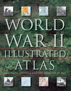
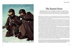
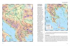
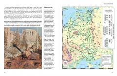
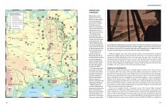
World War II was the greatest conflict in the history of mankind. It penetrated into every corner of the globe, from the Arctic to the Pacific Oceans. Immense armed forces engaged one another in battle in every type of environment, from the desert sands of North Africa to the jungles of Burma and New Guinea. The Allied and Axis forces met in brutal encounters ranging from small commando raids to gigantic armoured battles. World War II Illustrated Atlas is a comprehensive visual guide to this complex conflict. It plots the exact course of the land, sea and air campaigns in fine detail, enabling the reader to trace the ebb and flow of the fortunes of both sides. With the aid of over 160 full-colour maps, every theatre of war is covered. Contents include the land campaigns in North-west Europe, Italy, North Africa, Russia, South-East Asia and the Pacific; the naval war in the Atlantic and Mediterranean; the great carrier battles of the Pacific war; and the strategic bombing campaigns of Europe and the Pacific, culminating in the destruction of Hiroshima and Nagasaki.
This new edition provides another 25 maps showing the key raids and battles of the war, ranging from the St Nazaire raid in 1942 to the battle for Corregidor in February 1945. The isometric map views give a new perspective on the war, and are accompanied by detailed descriptions of the battles and raids along with photographs from the event.
This complete atlas provides an invaluable work of reference for both the general reader and the serious student of World War II.
World War II Illustrated Atlas
Limba:
Engleza
Data publicarii:
2019
Editura:
Tip coperta:
Hardcover
Nr. pagini:
224
ISBN:
9781782747369
Dimensiuni: l: 20.2cm | H: 26.4cm
Indisponibil
Preț valabil exclusiv online!
Împachetare cadou gratuită!
Transport gratuit peste 150 de lei.
Retur gratuit în 14 zile.
Ai întrebări? Contactează-ne!

