
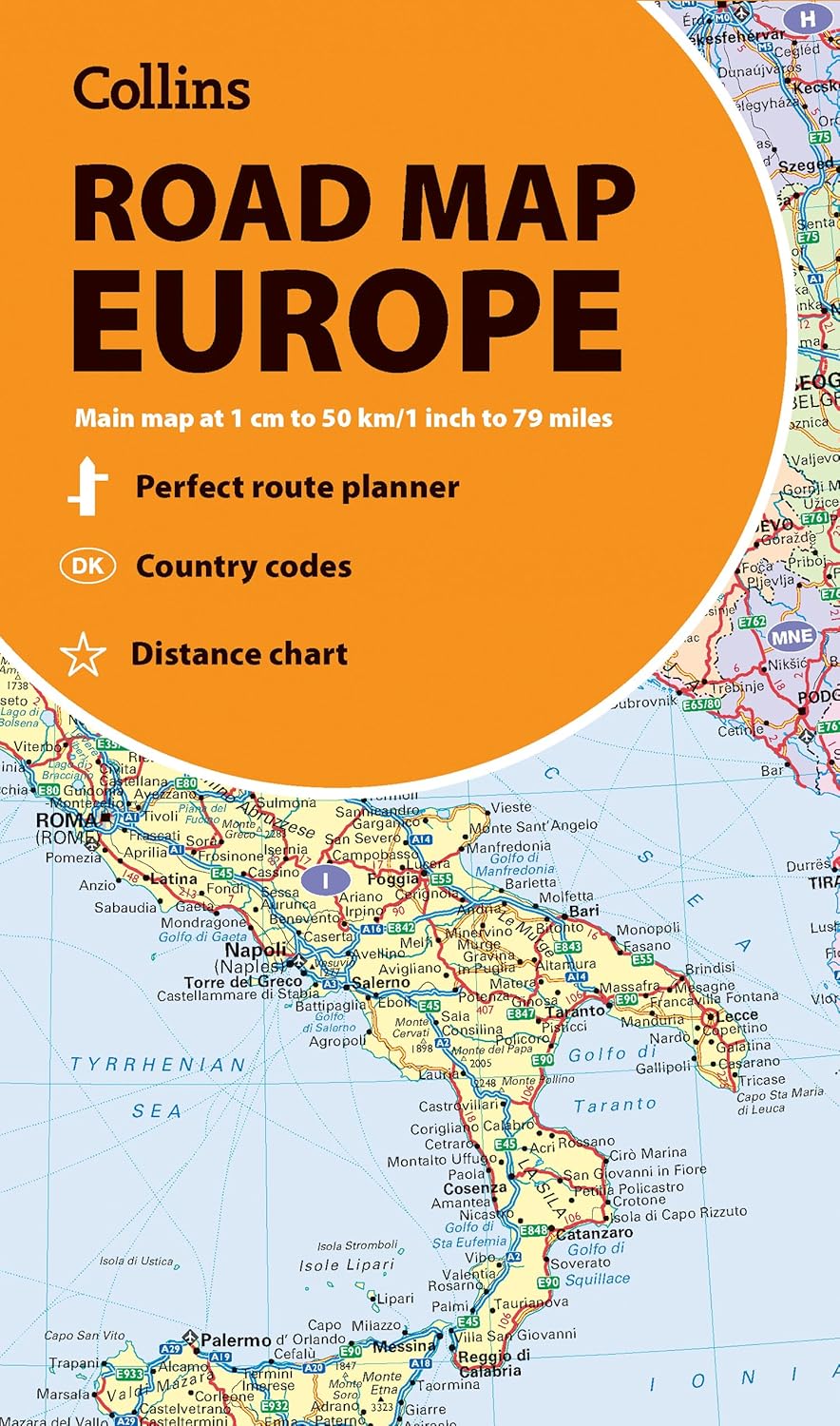
Discover new places in Europe with easy-to-read mapping from Collins.
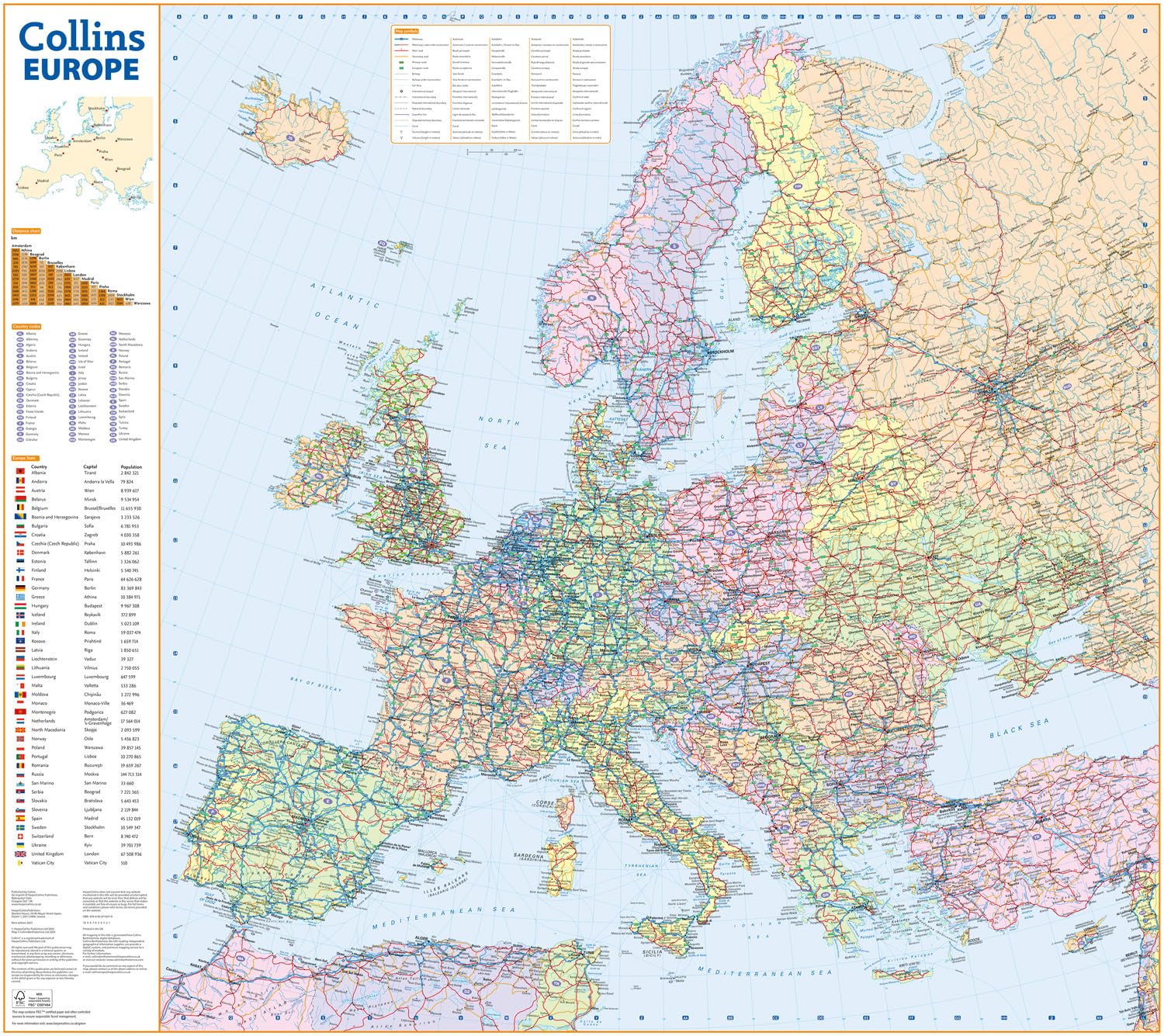
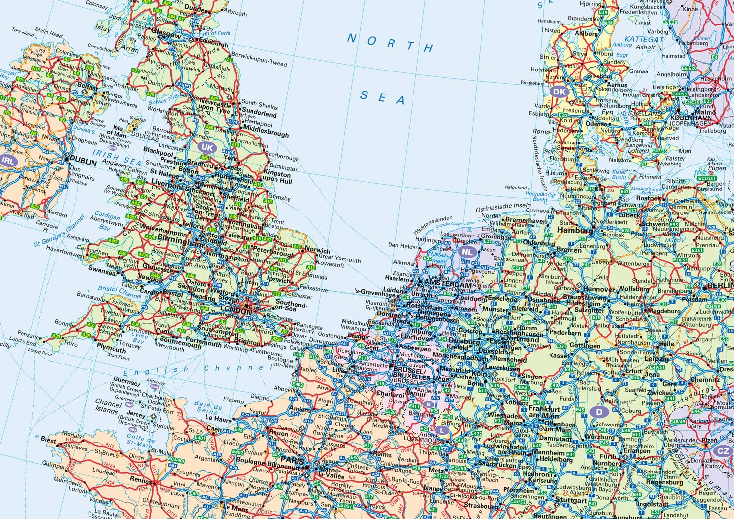
A fully revised and updated colour road map of Europe at a scale of 79 miles to 1 inch / 50km to 1cm (1: 5,000,000). Roads, motorways, European Route numbers, railways, airports, cities and towns are clearly shown, making the map ideal for route-finding and planning journeys.
This map includes:
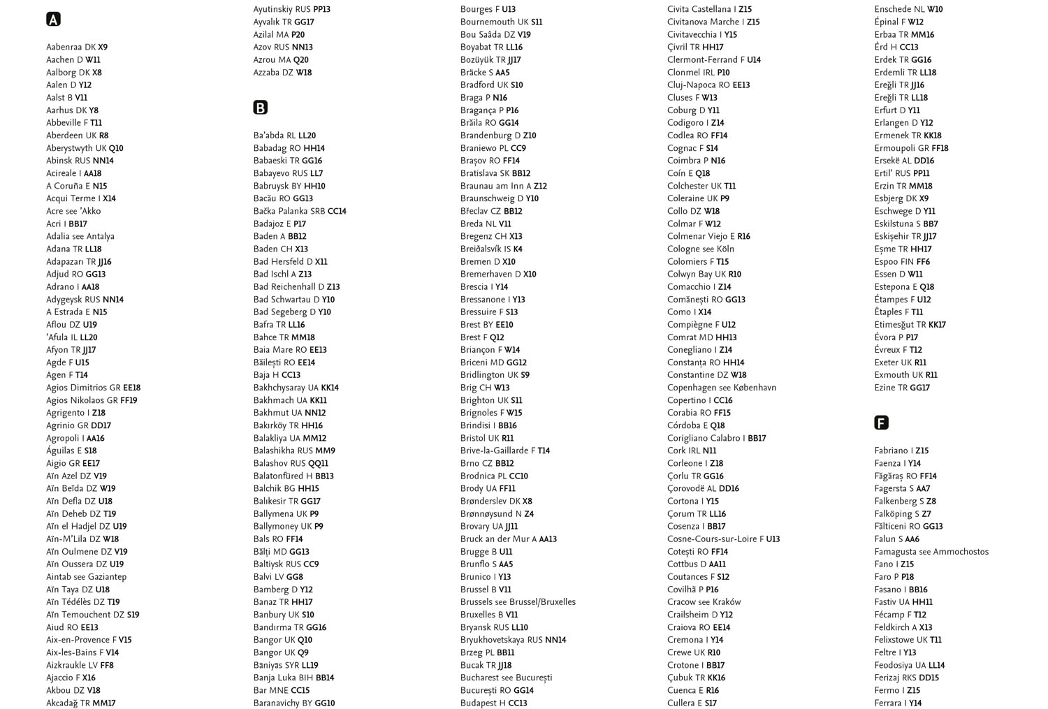
- Full index to place names (on reverse of sheet)
- Distance chart giving distances in kilometres between main towns
- European Union map showing member states and the Eurozone
- Links to further information on Europe
Area of coverage:
Covers the whole of Europe from the North Cape (Norway) to Gibraltar and from Ireland to east of Moscow. Also includes Iceland and Cyprus.
- Key to approved country code abbreviations – GB, F, D etc.
- Map key in English, French, German, Spanish and Italian